Steall Falls
Summary
A long abseil on a big slab.
Canyon Descent:
165m
Highest Drop:
165m
Canyon Length:
20m
Minimum Ropes:
2X 100m
Flood Risk:
Low
Access Type:
Public
Rock Type:
Granite
Catchment:
5.4km2
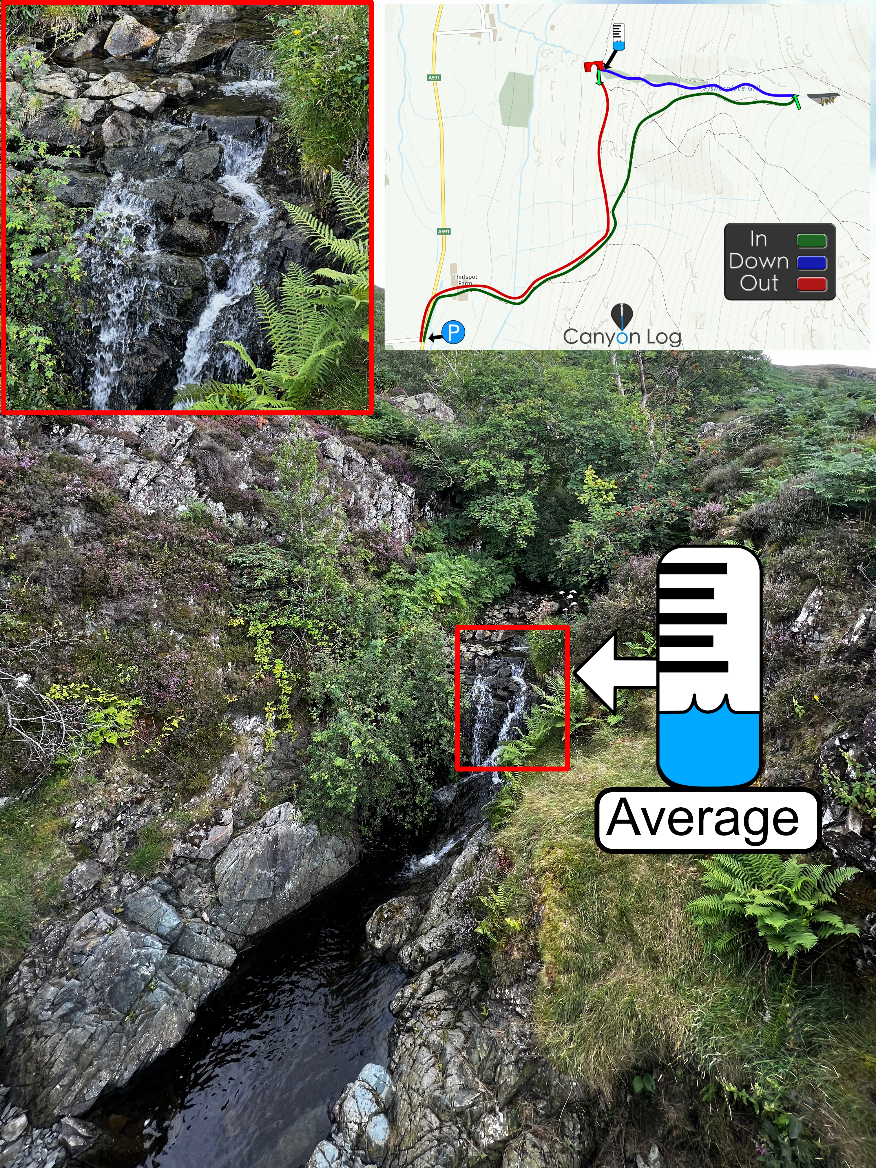
*No Water Level Indicator
*No Topo map available
Duration: in, down and out:
IN: 1.5hrs DOWN: 20mins OUT: 1hr
Anchors
Ghosted
Notes
Graded as a V4 A3 II due to the height of the falls, which requires multi-pitch rigging.
Description
Approach: Follow the walking track to the base of the waterfall from the car park (56.77746645907041, -5.000786537806389). Take the track towards An Gearanach. At the 350m couture line turn West down to the creek. Then back up (steep soft ground) heading toward Allt Coire a' Mhail.
Descent: Plenty of trees that can be used as natural anchors. Smooth rock at the top half. Small pools throughout. Gets more slippery further down the abseil. Page information - Achalinda
First Recorded Descent Team
Achlinda & Carla - 2024
.


Have You Descended This Canyon Recently?
If so we would love to hear from you in the comment section below! Let the whole community know more about this canyon, Information such as time taken to: approach, descend and exit are extremely helpful, as well as any new hazards you may have come across whilst canyoning at this location.
If any information on this page is missing, incorrect or out of date, please get in contact with us directly so we can rectify as soon as possible.
Disclaimer
No responsibility or liability is taken for any harm, death or loss of property from using the information found on Canyon Log. Topo features, descriptions and notes may not be accurate and could be misleading. You must carry anchor building materials, be experienced and use your own judgement when canyoning. Flooding can completely change the layout, features and conditions. Insufficient experience may result in death.
