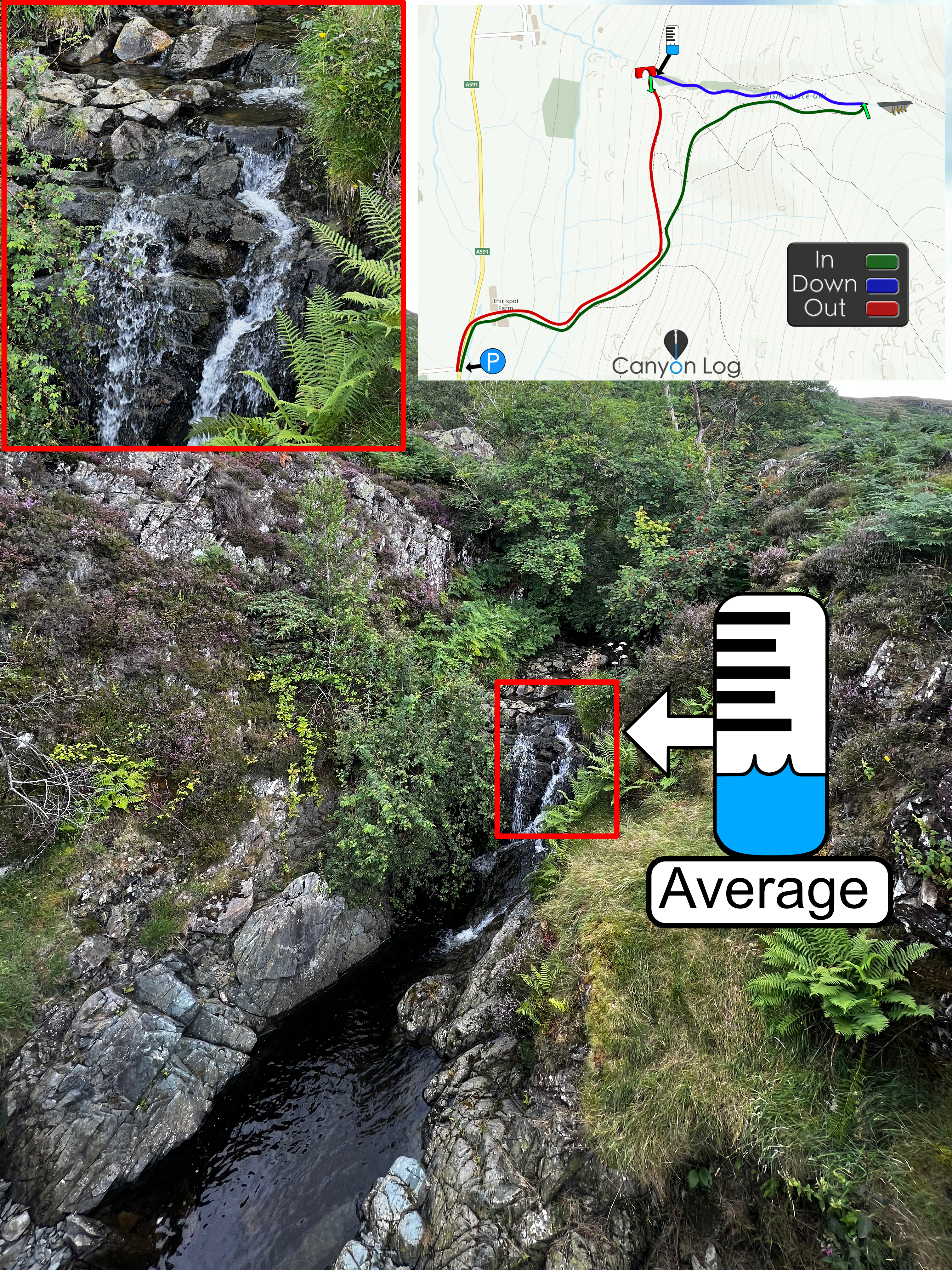
Spectacular scenery, similar to its neighbour, Corridor Canyon (Right branch of Greta Gill). Still remote, but more escapable and higher water volume than the right branch. Abseils and down climbs lead you to the confluence above the final fall.
Descent starts just off the corridor route footpath with a series of uncomfortable slides, or bypass these to arrive at the first fall. Further down climbs lead to the start of a very steep section with a long series of abseils. Exits from the canyon are available often and the trip is easily combined with Corridor Canyon - easiest to do Greta Canyon first and exit one fall above the confluence onto and then ascend the narrow grassy ridge on the right separating the two streams.
If so we would love to hear from you in the comment section below! Let the whole community know more about this canyon, Information such as time taken to: approach, descend and exit are extremely helpful, as well as any new hazards you may have come across whilst canyoning at this location.
If any information on this page is missing, incorrect or out of date, please get in contact with us directly so we can rectify as soon as possible.
DisclaimerNo responsibility or liability is taken for any harm, death or loss of property from using the information found on Canyon Log. Topo features, descriptions and notes may not be accurate and could be misleading. You must carry anchor building materials, be experienced and use your own judgement when canyoning. Flooding can completely change the layout, features and conditions. Insufficient experience may result in death.
We use cookies to ensure that we give you the best experience on Canyon Log. If you continue to use this site we will assume that you are happy with it.


