Have You Descended This Canyon Recently?
If so we would love to hear from you in the comment section below! Let the whole community know more about this canyon, Information such as time taken to: approach, descend and exit are extremely helpful, as well as any new hazards you may have come across whilst canyoning at this location.
If any information on this page is missing, incorrect or out of date, please get in contact with us directly so we can rectify as soon as possible.


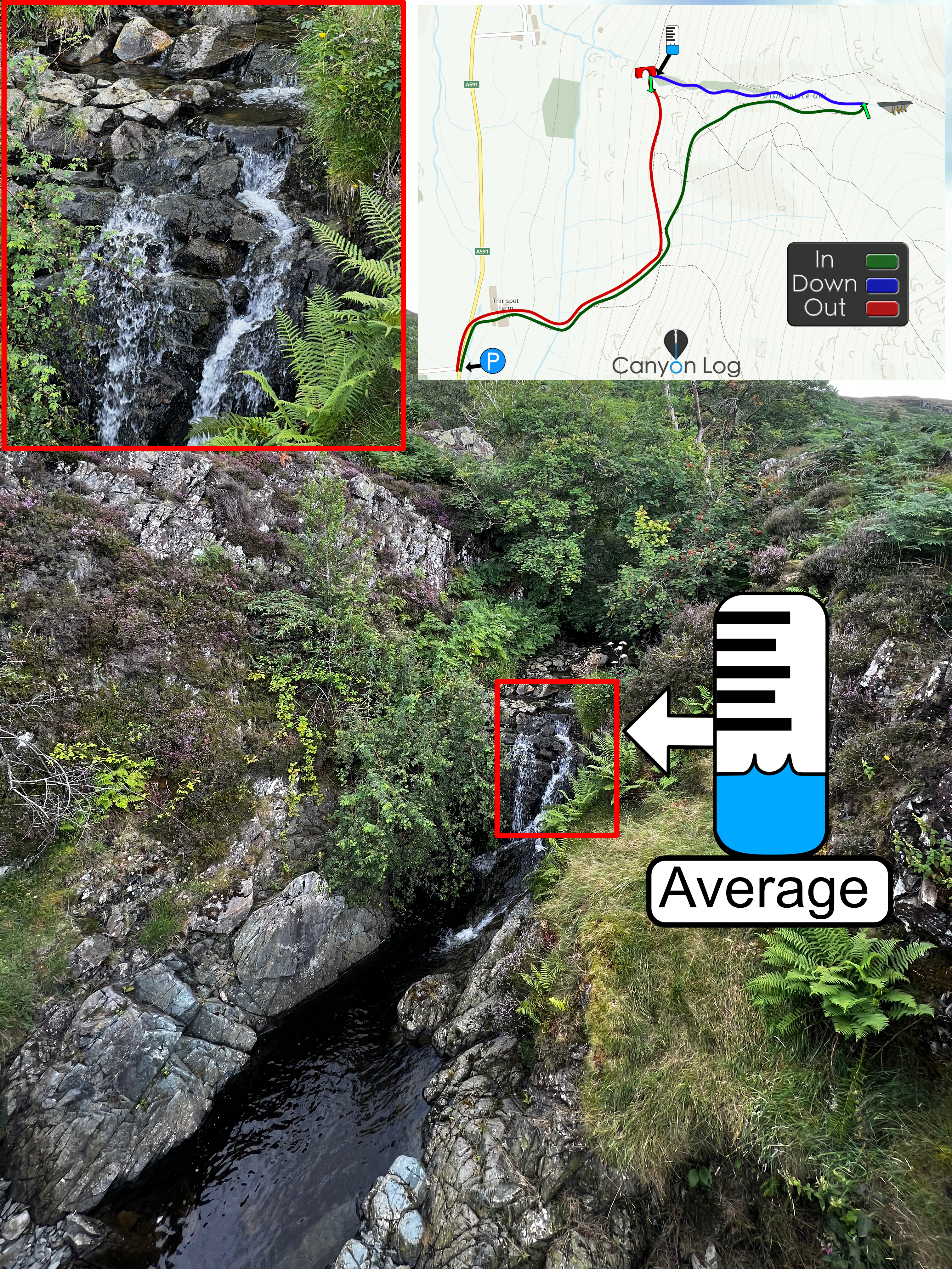
in high flows after Storm Amy- definitely made it more enjoyable
Ghosted first abseil then bolts thereafter.
The approach was hard work!
More adventure canyon then sport canyon
Topo to follow